Events and Posters
Earth Observation Day (EOD) is a Science, Technology, Engineering, and Mathematics (STEM) education and outreach event sponsored by AmericaView to celebrate the Landsat mission, a joint effort of the U.S. Geological Survey (USGS) and the National Aeronautics and Space Administration (NASA). In recent years, EOD is also part of Earth Science Week (ESW). The Landsat program has provided a continuous space-based record of the surface of the Earth since 1972. Every day, Landsat satellite imagery provides information to scientists, researchers, farmers, forest managers, policy makers, and many others that helps them make wise decisions about our resources and our environment. EOD is celebrated on Tuesday of Earth Science Week during October of each year. Though, as we like to say at AmericaView, “Every day is Earth Observation Day!”
All of our posters can be downloaded from our Educational Resources portal.
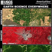
The 2024 poster focuses on Earth Sciences Everywhere, showcasing how Earth sciences are a part of many sectors within our society.
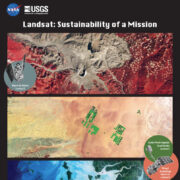
The 2022 poster focuses on the sustainability of the Landsat mission and showcases unique changing landscapes around the world.
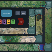
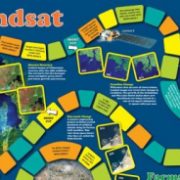
The 2021 poster turns to the theme of “Water Today and for the Future.” This poster contains the creative game experience to help bring understanding to how water resources in America are used and managed for future use.
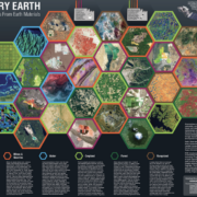
The 2020 poster turns to the theme of “Factory Earth: Making Products from Earth Materials.” It returns to the creative game experience to help bring understanding to Landsat remote sensing and Earth Science in general. Enjoy!
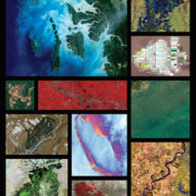
The 2019 poster highlights 12 remarkably beautiful Landsat images from around the globe. The reverse side describes how earth observations through the Landsat program enhance our understanding and engagement with the geosciences. Featured images include scenes of India, California, Chile, Brazil, South Dakota, China, Siberia, Antarctica, Mississippi, Niger, Texas, and Lake Eire.
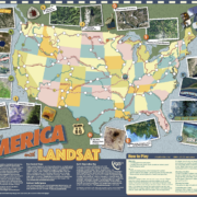
The 2018 poster inspires us to observe, explore, and understand our Earth from space. The front includes stunning Landsat imagery, and the back is a game for Exploring America with Landsat!
The 2017 poster features a mosaic of Landsat 8 satellite images showing the contiguous United States of America on the front and a board game-style exploration of the history and contributions of the Landsat program.
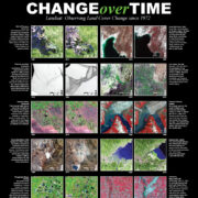
Change is everywhere. We see change best when we can compare things—like before and after images. Landsat helps us do this. Landsat satellites have been imaging our planet over four decades, allowing us to see how the Earth’s land surface has changed. This poster provides examples of change over time as observed by Landsat satellites.

