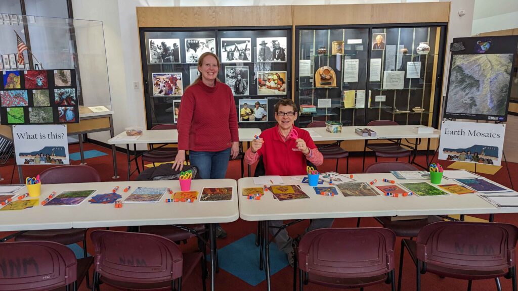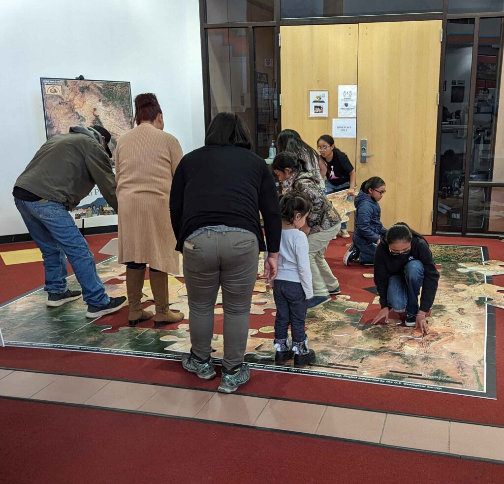
AmericaView members traveled to Window Rock, Arizona, the capital of the Navajo Nation, to support a community-wide Science, Technology, Engineering, and Mathematics (STEM) event. The event, Nihimá Nahasdzáán – The Art of Mother Earth Gallery Event – was held at the Navajo Nation museum and featured a number of interactive remote sensing and Earth observation activities.
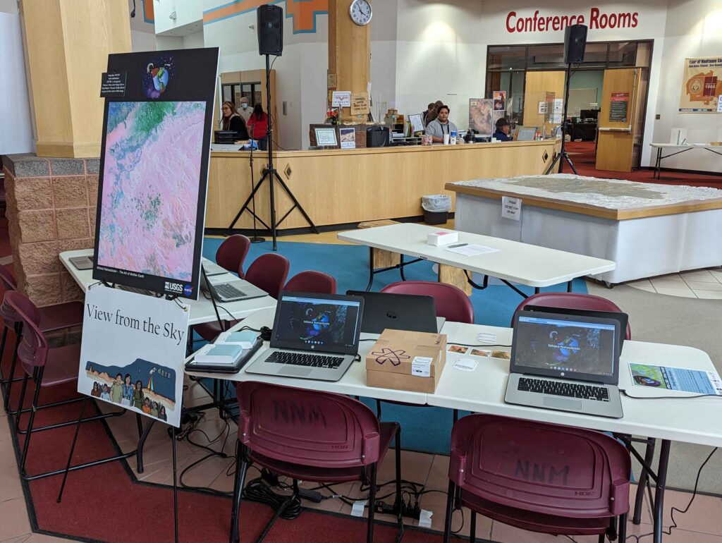
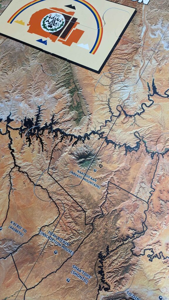
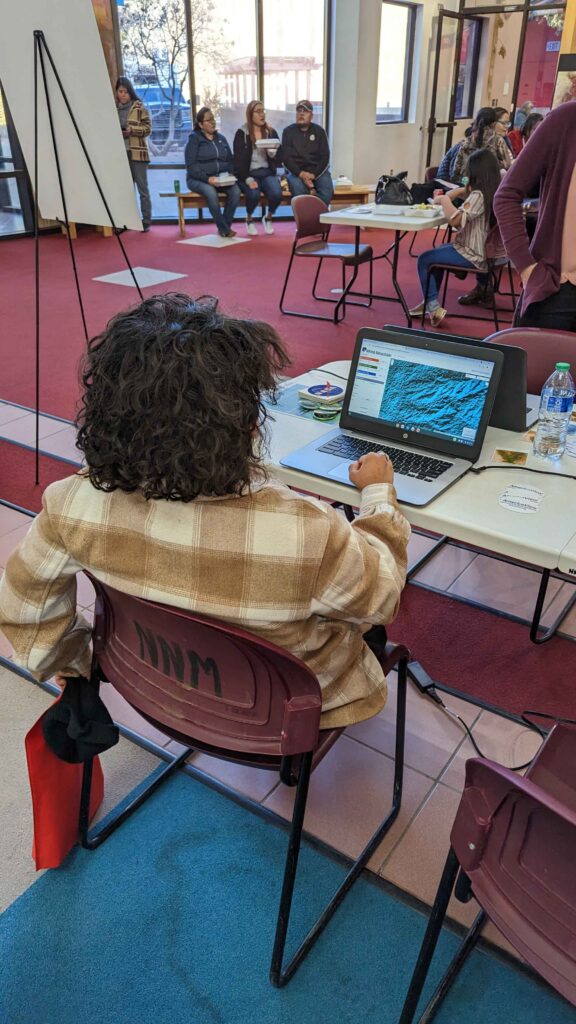
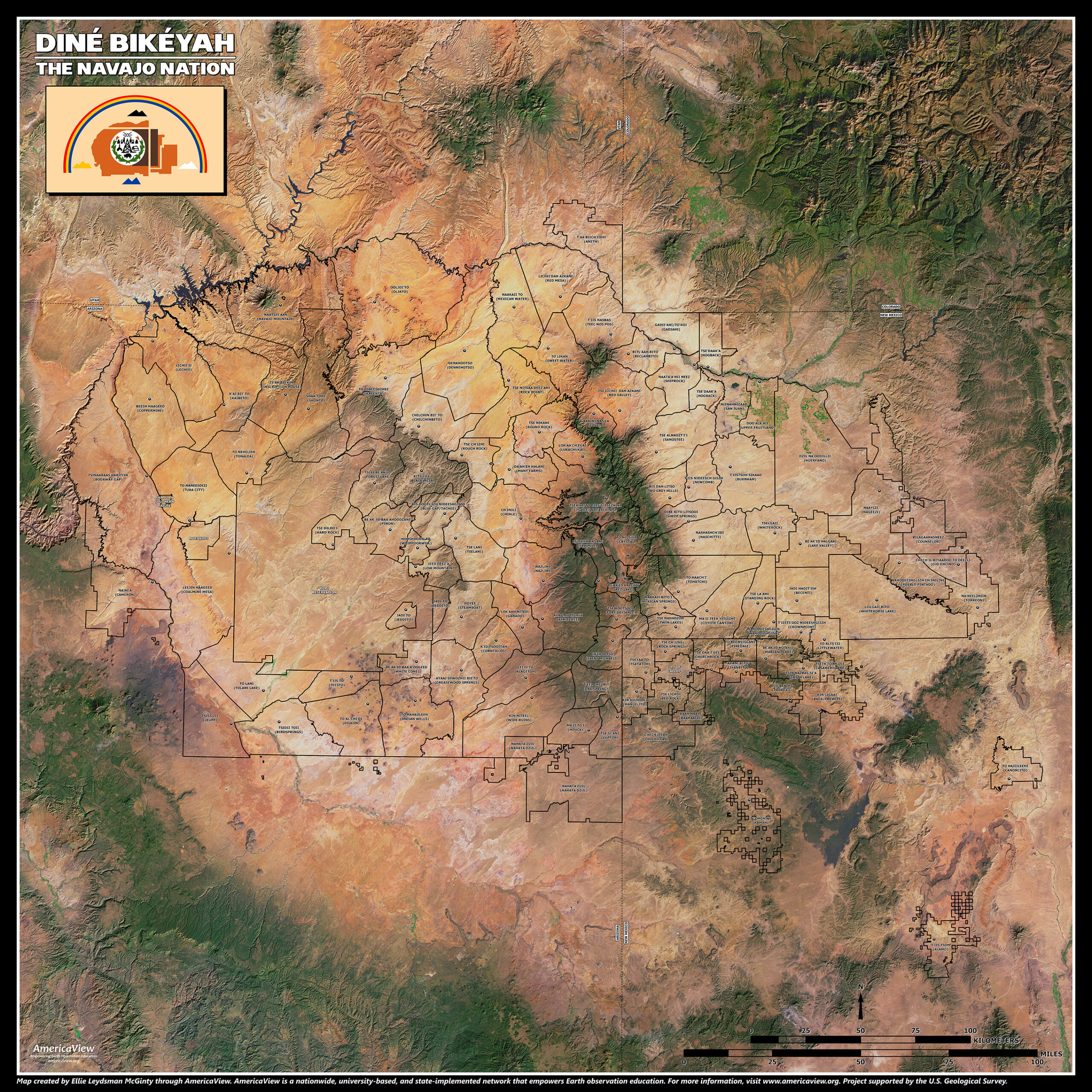
AmericaView supported the development and production of a 12’x12′ interactive floor puzzle of the Navajo Nation, created from Landsat satellite imagery, which depicted the Nation and its chapters in both Navajo and English languages. Additionally, through collaboration with Google Earth Engine team members, an application was developed to allow learners of all ages create “Earth as Art” of the Navajo Nation and surrounding regions. Participants could then print the images they created and take them home. AmericaView provided Chromebook computers and staffed the station to support this Navajo Nation as Art activity. AmericaView members also staffed the Landsat collage station where participants could take different printed Landsat satellite images, cut out shapes, and create different and creative pictures out of the unique and colorful satellite images.