
-
AmericaView Awarded Five Year USGS National Land Imaging Agreement
AmericaView is pleased to announce that the United States Geological Survey (USGS) National Land Imaging (NLI) Program…
Continue reading -
AmericaView Hosts STEM Event at the 2022 William T. Pecora Symposium in Denver
On October 25th, 2022, AmericaView hosted a STEM event to coincide with the 2022 USgS William T. Pecora Symposium in Denver, Colorado. This event was organized by…
Continue reading -
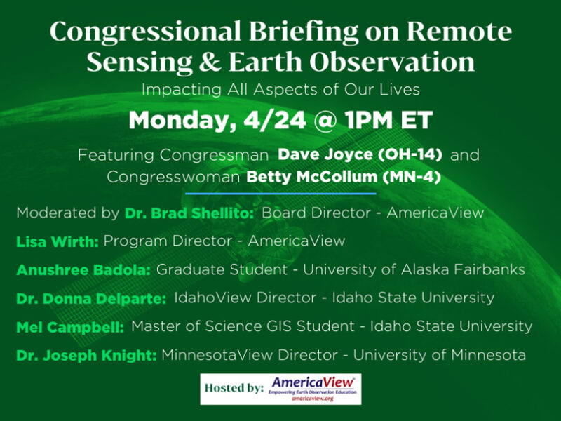
AmericaView Hosts Congressional Briefing on the Importance of Remote Sensing and Earth Observation Education
On Monday, April 24th, 2023, AmericaView, in collaboration with G2G Consulting, hosted a virtual Congressional Briefing on the importance of remote sensing (RS) and Earth observation (EO)…
Continue reading -
AmericaView Supports Landsat 9 Launch
AmericaView was proud to support the launch of Landsat 9 in September 2021 from Vandenberg Space Force Base in California. Through collaborations with…
Continue reading -
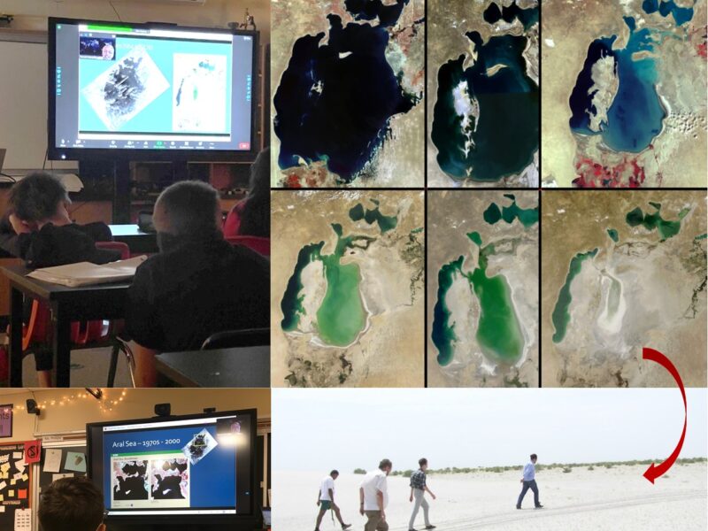
WyomingView Virtually Celebrates Earth Observation Day
WyomingView recently conducted a virtual Earth Observation Day event with 6th graders in Laramie Middle School to talk about the Aral Sea Disaster and tracking changes from…
Continue reading -
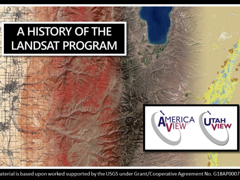
A UtahView of Landsat in Google Earth
Through the AmericaView mini-grant program, member state UtahView created an interactive map using Google Earth Web on the fascinating history behind the Landsat satellite missions. Travel through…
Continue reading -
Texas as Art on Virtual Display
A Texas as Art image has been selected for display at the Harvey School of Visual Arts and the Fain College of Fine Arts Restore Our Earth…
Continue reading