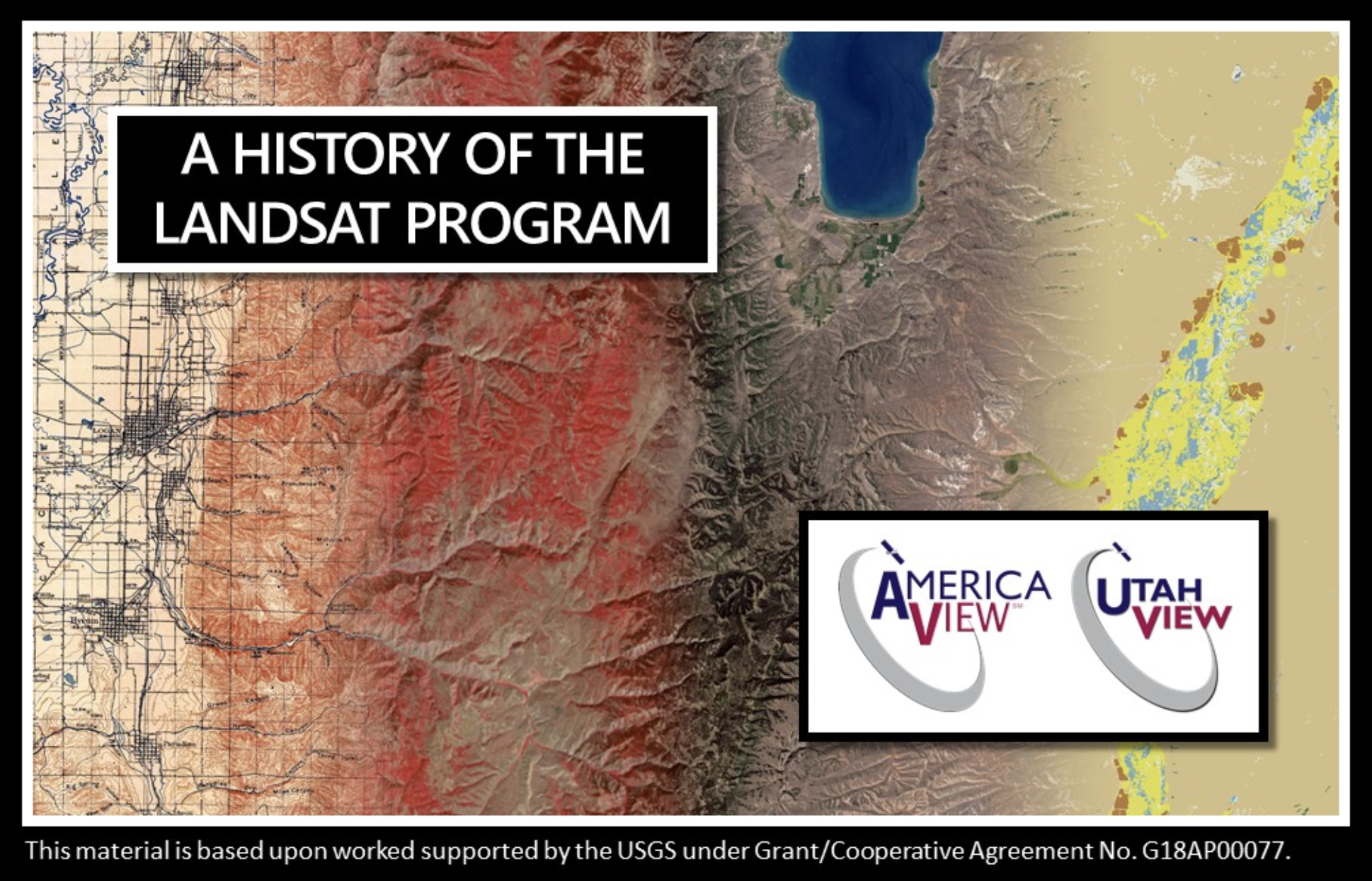
Through the AmericaView mini-grant program, member state UtahView created an interactive map using Google Earth Web on the fascinating history behind the Landsat satellite missions. Travel through history with maps and learn more about Landsat, https://bit.ly/UtahView_HistoryLandsat.
A UtahView of Landsat in Google Earth