
-
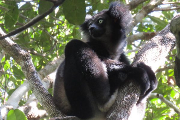
MissouriView Students Study Forest Conservation in Madagascar
Continue readingMissouriView is one of the newest members of the AmericaView network, joining us in 2021, and is led by Dr. Vasit Sagan at Saint Louis University. One of their activities this past year led to the development of an ArcGIS StoryMap that illustrates the research that students conducted on forest conservation using artificial intelligence in […]
-
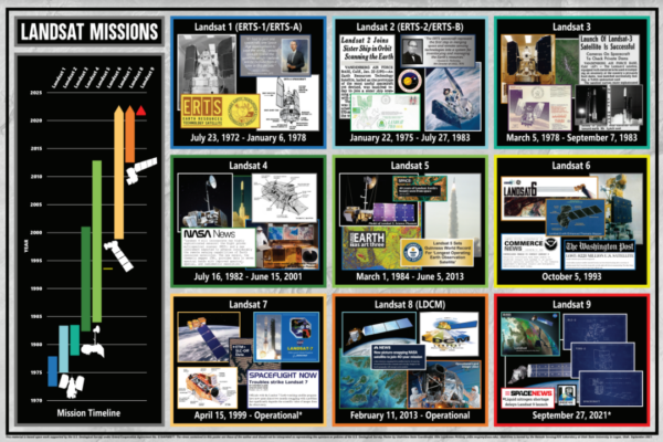
UtahView Creates Landsat Informational Poster Series
Continue readingUtahView recently completed a series of informational posters on the Landsat missions, collections, products, and Analysis Ready Data (ARD). These resources will help guide you through the history of Landsat and to better understand the data and data products. To learn more about UtahView activities and these posters, go to https://bit.ly/3lNFjY6.
-
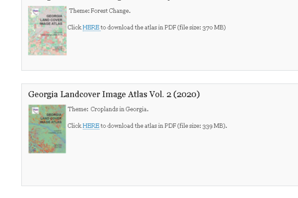
Discover the Georgia Landcover Image Atlas Series
Continue readingLearn about croplands and forest change for the state of Georgia. This atlas series is a product by GeorgiaView, using Landsat and Landsat data products in the generation of the maps. This atlas series has benefited local decision makers in making more informed decisions and is becoming a valuable teaching tool. Download the atlas series […]
-
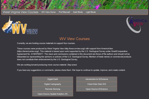
New Online Courses From West VirginiaView
Continue readingWest VirginiaView recently added two new courses to their online catalog. The first is focused on Digital Cartography and you can find out more information here. The second course explores the theory, technology, and applications of remote sensing and details are here. Explore other great resources that are freely available on their website.