
-
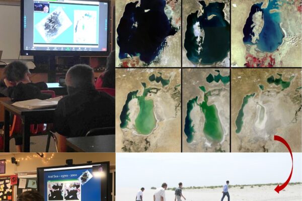
WyomingView Virtually Celebrates Earth Observation Day
Continue readingWyomingView recently conducted a virtual Earth Observation Day event with 6th graders in Laramie Middle School to talk about the Aral Sea Disaster and tracking changes from space. They used Landsat and MODIS data to observe the changes through time.
-
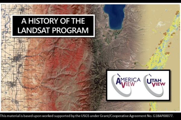
A UtahView of Landsat in Google Earth
Continue readingThrough the AmericaView mini-grant program, member state UtahView created an interactive map using Google Earth Web on the fascinating history behind the Landsat satellite missions. Travel through history with maps and learn more about Landsat, https://bit.ly/UtahView_HistoryLandsat.
-
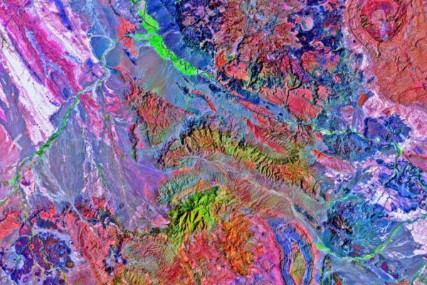
Texas as Art on Virtual Display
Continue readingA Texas as Art image has been selected for display at the Harvey School of Visual Arts and the Fain College of Fine Arts Restore Our Earth virtual exhibition at Midwestern State University. The image is of Big Bend State Park and was created using Landsat 8 imagery. https://bit.ly/3sGFAxw
-
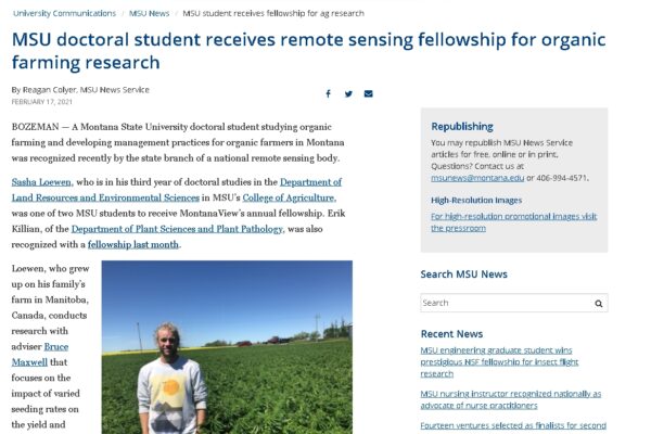
MontanaView Student Fellowship Recipient Highlights
Continue readingMontanaView awarded several fellowships this past year to support student research across Montana. Two of the fellowship recipients were highlighted by Montana State University recently and you can read about them here, https://www.montana.edu/news/20874.